Grande Traversée du Vercors

01
With all the restrictions this year and changes in race dates, it’s been tough to plan and train for specific events, losing the flow in the training programme as race dates are pushed back. With restrictions on cross border travel too, focus has turned to planning bikepack rides within country. Riding the numerous Grande Traversee across France has become a bit of a project to explore these signposted MTB and gravel routes, with distances from 200km up to 1400km. Ride them as fast or as slowly as you want, go self supported with a bivvy or tent or there’s the option of utilising the numerous accommodation options along each route. The Grande Traveresée du Vercors is the 2nd in this series.
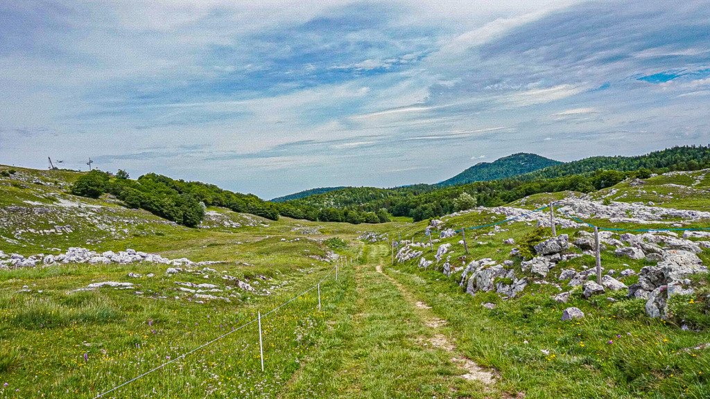
The GT du Vercors is a 220km mtb circular route that officially starts in St André en Royans on the western edge of the national park. It passes across lowland pastures at 200m and heads up onto the 1600m high plateaus of the Vercors with total climbing around 5800m and concomitant descending.
02
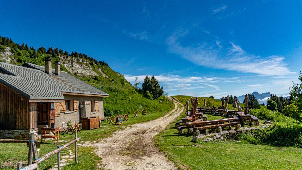
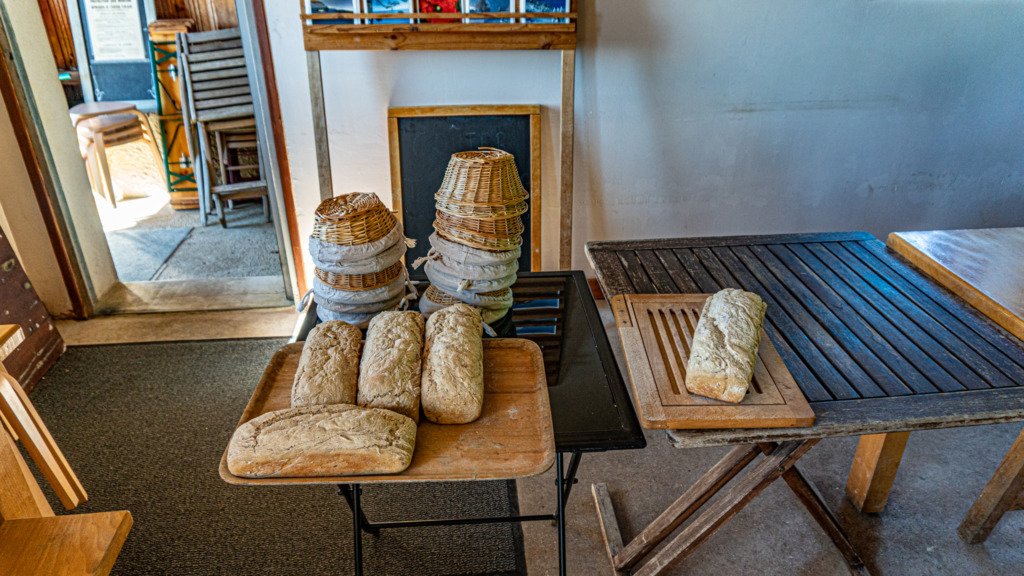
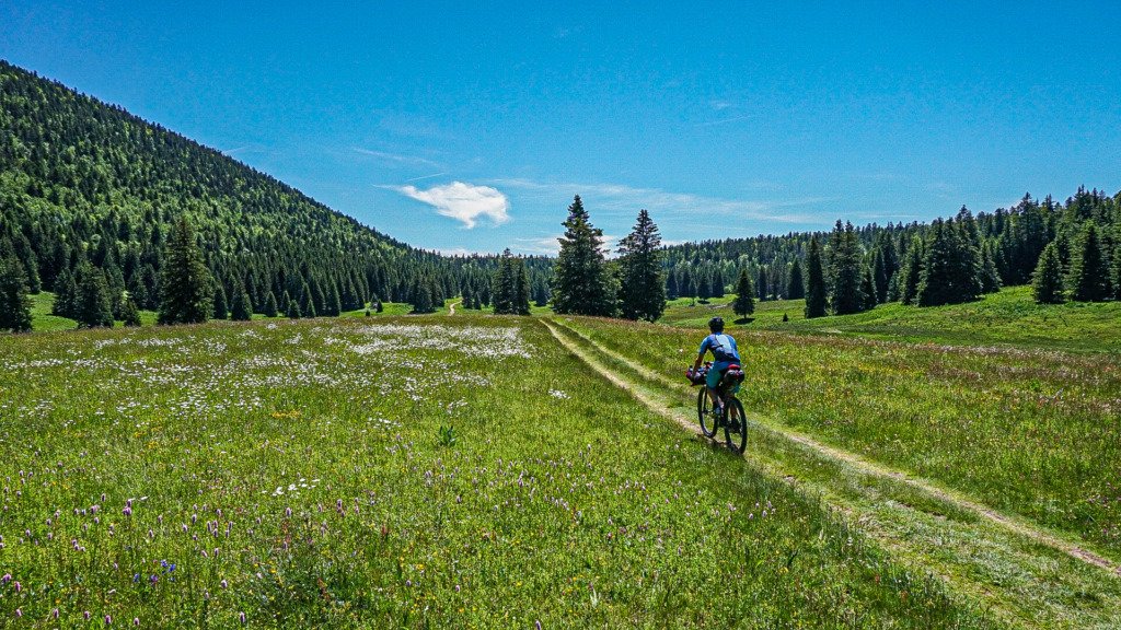
I started my ride from the train station at Grenoble however, which was a straightforward ride out of the city along back streets before heading onto a riverside bike path and turning off at the signpost for the Vercors National Park. This takes you along the main road up onto the plateau towards Autrans, but my route was 30km of virtually traffic free riding, off road along forest trails up to the 1600m plateau, passing the gite of La Moliere, which turned out to be a good find. A great place to stop for coffee and food (if you arrive after 12 midday) with a view of the alpine peaks in the distance from its outside seating. They even make their own bread on site. The owner has been a berger for 40 years and has many stories to tell (so long as you speak French).
I joined the GTV above Autrans, one of the Vercors’ main towns and one of its meccas for winter sports. The town centre is small, but with a good number of food options. For home made ice cream, Gite Autrans on the main street is amazing. A double scoop minimum is a must. From here I rode the route clockwise. Food and water points are mostly regular along the route but there are sections where you might want to carry a little extra depending on individual needs.
03
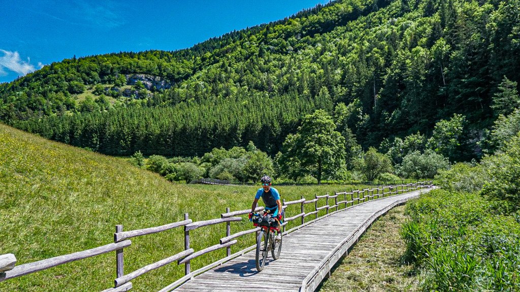
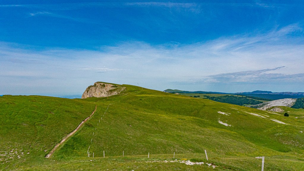
The route rolls along this 1000m high plateau’s countryside tracks becoming riverside trail for the final few kms to Villards de Lans, along purpose built cycle track, avoiding the main road. Over the next 16km, it gradually climbs to over 1500m through open pastures to the plateau du Chateau Julien and stunning 360degree views. It’s a fun 12km descent of fast double and loamy single track to a small village where you can pick up water or a little further on is les Bruyeres via a brief climb with greater options for fluids as well as a feed.
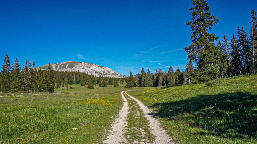
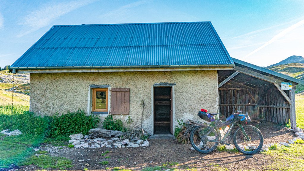
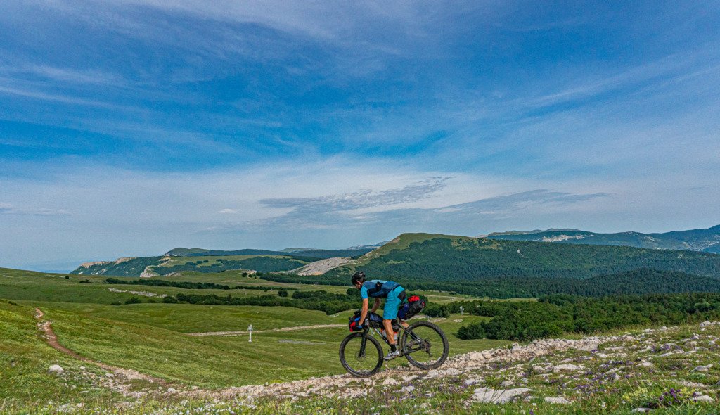
The next few km tick by, along smooth tarmac through the valley, high plateaus looming on both sides. It’s not too long before the route turns off, switchback countryside road bringing you back up to southern reaches of the plateau range. Up here there are small cabanes, basic shelters with a small number of bed bases in bunks on a 1st come 1st served basis. Most have a water source nearby and if water is low, the 1st you’ll come across has a drinkable source just off the main track. The track is rugged, mountain terrain, big tyres are recommended if comfort is a priority.
04
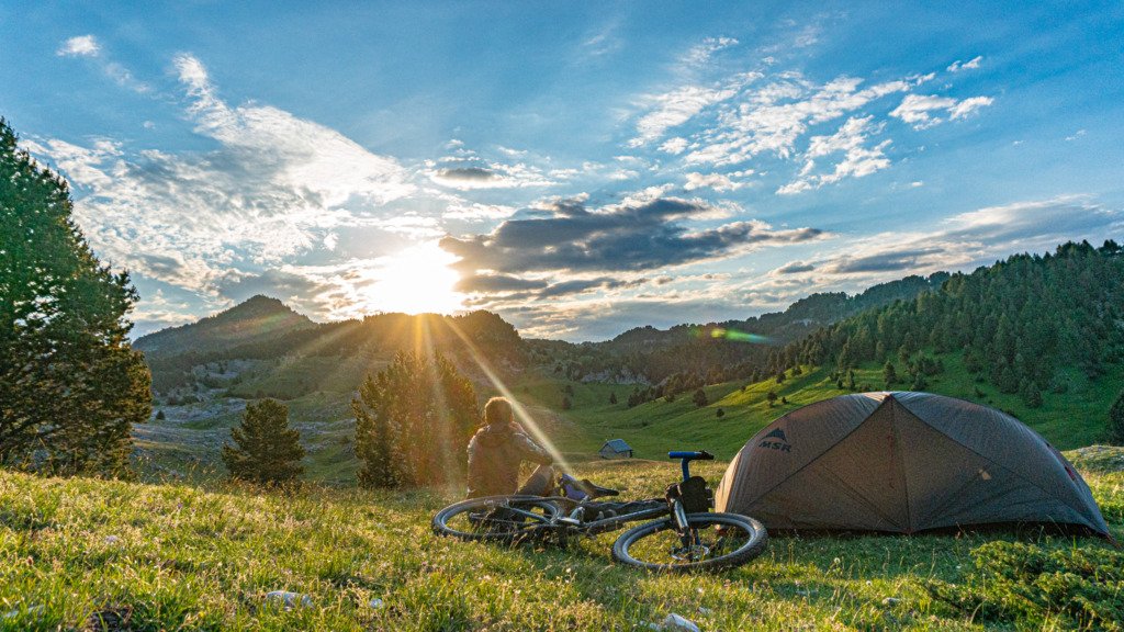
I stopped pretty early having reached the goal for the overnight, at the highest point of the route, just above one of the cabanes. My spot offered a view of sunset just over the ridge and sunrise over the opposing peaks. Its water source was a trickle more than a fountain and was best boiled as the small print on the accompanying sign suggested that sometimes it wasn’t drinkable.
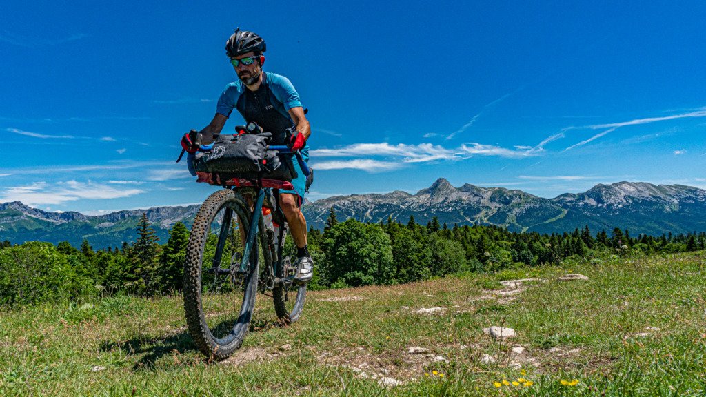
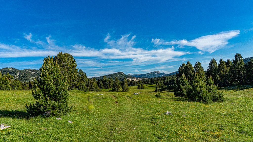
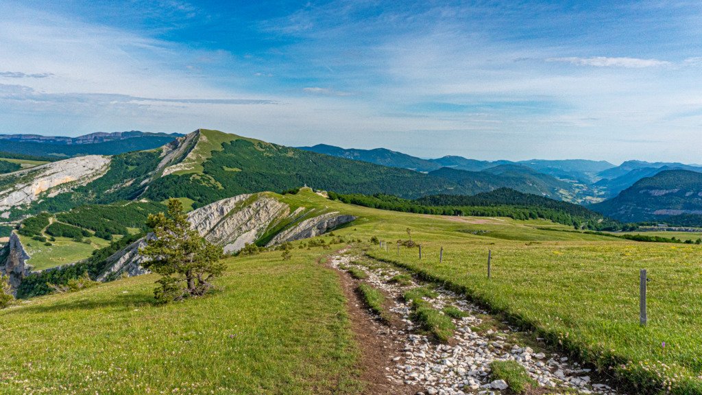
The route stayed high along the plateau, passing through sparse forests being at the edge of the treeline here, with no higher peaks for reference, at last a sense of just how high you were. Edging slightly higher, trees gave way to alpine scrub crossing the southern ski resorts, which are all on a very local scale.
05
Singletrack skirted around the edge of the plateau, a few metres in from the cliff edge, having to walk past a flock of goats under the beady eye of the dogs. Dropping down off the plateau, the route direct you down a red mtb trail, great if you are on a trail mtb, but a little too tech for the drop bar Bahookie so was straight forward to follow the double track (blue piste in winter) around and rejoin the route. At the small resort at the col de Rousset there is a restaurant that was open if in need of water, otherwise it’s mostly descent to the commune of Vassieux en Vercors.
From Vaisseux, it’s a steady ride along this lower level rolling on tarmac, a rude switchback climb returning you to the wilds at the upper plateau, passing by a memorial to the resistance fighters of WW2. If you’re in need of water the route passes through another small ski station, Font d’Urle not much further on, which has a restaurant.
06
The next 25km crossed open wilderness, along forest rails and singletrack with a bias to height loss, dropping 1200m overall to reach St Jean en Voyans at the edge of the park, the official start point for this grande traversée. It’s an ideal place to refuel with various food outlet options in its quiet central square or 9km further on is the more touristic town of Pont-en-Royans with its picturesque buildings built into the river side rock face. If it’s hot, a dip in the river is quite refreshing!
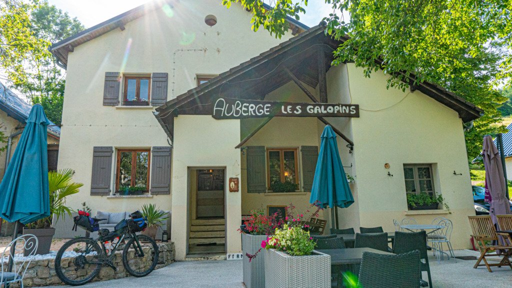
The next 20km winds its way upwards, climbing over 1000m. It’s a tough section of the GTV, with some steep sections of climbing with a water source in the village of le Faz 200m from the top of the climb. The final few hundred metres over the peak is hike-a-bike with a fun meandering descent into the village of Malleval en Vercors where I was hoping to pick up some food, but the auberge was closed as all the weekend visitors had departed. At least there was a water tap. There is a ‘salle en vrac’ here, which is open for anyone to use as shelter, both summer and winter. Being late evening, it seemed like an ideal spot to set up ‘camp’. It’s rustic with a kitchen and cooking facilities and floor space for sleeping. The auberge opened up in the morning and was worth the wait as they made me a well filled baguette to go, the best I’d had on this trip.
The 30km to Autrans is through rugged landscape, along isolated trails with some steep climbing passing over the 2nd highest peak of the route. So I was glad of the sustenance I had picked up at the auberge. Getting over the final peak is a steep hike-a-bike up hiking trail for the last 500m with a brief hike-a-bike down the other side, before being able to jump back on the bike for the descent into Autrans and ice cream at the Gite Autrans.

